You are here : Homepage > The trails > Chemin de la transhumance (Randonature)


Chemin de la transhumance (Randonature)
Sur le coteau entre Mollens et Salquenen
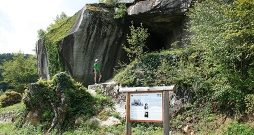
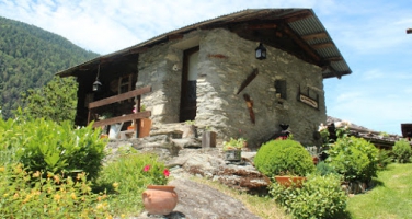
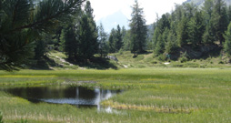
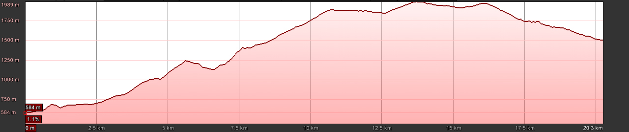
Découvrez entre 600 et 1900 m d'altitude des paysages variés issus de l'exploitation agricole ancestrale, entre vignes, champs, prairies, villages, mayens et alpages. Ce parcours dédié à la transhumance, comporte une halte à chaque étage de séjour.
Culture Trail
Principal theme:
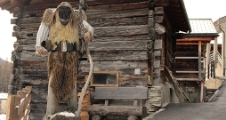
Society and Customs / Agriculture, Water and Resources
Secondary theme:
Built or Buried Heritage / Water, Glaciers, Climate
Supporting information:
Document to download
No. of information points:
7
Special public:
All public, families
Language:
French,
More information:
Contact
Crans-Montana Tourisme & Congrès
Route des Arolles 4
3963 Crans-Montana
T. 0848 22 10 12
Légende
Départ
Arrivée
Length:
20.4 km
Duration:
more than one day
Max. altitude:
1989 m
Season:
spring, summer, autumn
National map:
1287 Sierre
Particularities:
accessible to large groups
features sections of airy pathway
Those responsible for the internet site www.sentiers-decouverte.ch shall not be held responsible for any liability concerning the use of the information presented on this internet site or linked to the trails. For any additional information please contact the tourist office or the responsible person above.

Problème constaté sur ce sentier? Erreur ou imprécision sur notre fiche? Faites-nous en part.